|
Devil's Slide California 94044 Last Updated: 05/10/2024 |
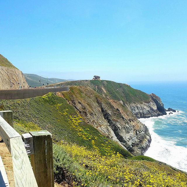
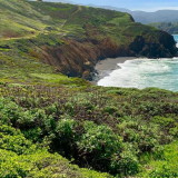
| Devil's Slide is a dramatic stretch of coastline located along California's Highway 1, just south of Pacifica and north of Montara. It's renowned for its stunning ocean views and rugged cliffs. The name Devil's Slide comes from the treacherous nature of the cliffs in the area, which historically posed a significant hazard to travelers along the coast. | |
| The region was known for frequent landslides, which would obstruct the highway, sometimes for days at a time. In response to these hazards, a tunnel bypass was constructed, which opened in 2013. This tunnel effectively rerouted traffic away from the perilous cliffs of Devil's Slide, providing a safer and more reliable route for commuters and travelers along the coast. While the construction of the tunnel has made travel safer, Devil's Slide still retains its natural beauty and remains a popular spot for sightseeing, hiking, and enjoying the stunning vistas of the Pacific Ocean. | |
Website Wikipedia Facebook
San Mateo County » Pacifica
Place » Outdoors

|
Devil’s Bunker Place » Outdoors The Devil's Slide Bunker, also known as the Devil's Slide Nike Missile Site, is a historic military site located in Pacifica, California. It was part of the Nike missile defense system developed during the Cold War era to defend against potential air attacks. The site was operational from the late 1950s to the early 1970s. 42 views 💖 1California 94019 |
|
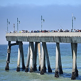
Pacifica Municipal Pier Place » Outdoors Pacifica Municipal Pier is a fishing pier in western San Mateo County, California. The L shaped pier spans out into the Pacific Ocean for a quarter mile from the City of Pacifica. 89 views 💖 12100 Beach Blvd, Pacifica, CA 94044 |
|
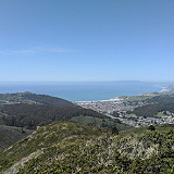
San Pedro Valley Park Place » Outdoors San Pedro Valley County Park is a San Mateo County park located in Pacifica, California, which includes the headwaters of San Pedro Creek. 91 views 💖 1600 Oddstad Blvd, Pacifica, CA 94044 |
|
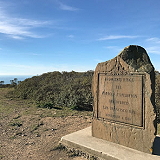
Portola Discovery Site Place » Outdoors The San Francisco Bay Discovery Site is a marker commemorating the first recorded European sighting of San Francisco Bay. In 1769. 86 views 💖 1Sweeney Ridge Trail, Pacifica, CA 94044 |
|
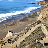
Pacifica Esplanade Beach Place » Outdoors Pacifica Esplanade Beach is a secluded beach that can be accessed via a long set of switchback trails and stairs at the north end of Esplanade Drive, near the Lands End Apartments. 80 views 💖 1360 Esplanade Ave, Pacifica, CA 94044 |
|
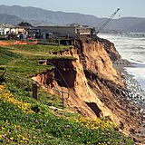
Pacifica Place » City Pacifica is a city in San Mateo County, California, on the coast of the Pacific Ocean between San Francisco and Half Moon Bay. The City of Pacifica is spread along a 6-mile (9.7-kilometer) stretch of coastal beaches and hills in north central California. It had a population of 38,640 in 2020. 71 views 💖 1California |
|
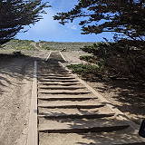
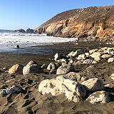
Bootlegger's Steps Place » Outdoors The Bootlegger's Steps are a historic landmark in Pacifica, California. Located at the end of Pacifica Avenue, the steps lead down to the ocean and were once used by bootleggers to smuggle alcohol during Prohibition in the 1920s. 86 views 💖 1Pacifica, CA 94044 |
|
Pacifica Beach View Park Place » Outdoors Pacifica Beach View Park is a popular recreational area located in Pacifica, California. The park is situated on a hillside overlooking the Pacific Ocean and offers stunning views of the coastline and hilly trails. 89 views 💖 1651 San Marlo Way, Pacifica, CA 94044 |
|
Mori Point Place » Outdoors Mori Point is a scenic park located in Pacifica, California, that offers stunning views of the Pacific Ocean and the surrounding landscape. The park covers approximately 110 acres and is home to a diverse array of wildlife and plant species. 303 views 💖 1Mori Point Rd, Pacifica, CA 94044 |
Write a Review :
Devil's Slide
|
|
