|
Sahara Desert Sahara Desert Last Updated: 12/27/2024 |
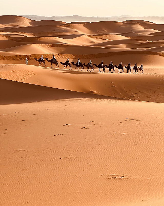
| The Sahara Desert is the world's largest hot desert, spanning across North Africa. It covers approximately 9.2 million square kilometers, making it the third-largest desert globally, smaller only than Antarctica and the Arctic. The desert extends from the Red Sea in the east to the Atlantic Ocean in the west, and from the Mediterranean in the north to the Sahel savanna in the south. | |
| The Sahara features various regions, including the western Sahara, the central Ahaggar Mountains, the Tibesti Mountains, the Aïr Mountains, the Ténéré desert, and the Libyan Desert. The Sahara covers parts of several countries, including Algeria, Chad, Egypt, Libya, Mali, Mauritania, Niger, Western Sahara, and Sudan. It comprises various landforms such as shallow basins, oasis depressions, gravel plains, plateaus, mountains, and sand seas. The highest peak in the Sahara is Emi Koussi, a volcano in the Tibesti Mountains, Chad. | |
Wikipedia
World » Wrd
Place » Desert
|
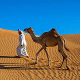
Arabian Desert Place » Desert The Arabian Desert is a vast desert region that spans much of the Arabian Peninsula. The Arabian Desert covers parts of Saudi Arabia, Oman, Jordan, Iraq, Qatar, the United Arab Emirates, Kuwait, and Yemen. The desert features diverse landscapes, including vast sand dunes, gravel plains, rocky plateaus, and occasional mountain ranges. 305 views 💖 1 👍 0Arabian Desert |

|
Kalahari Desert Place » Desert The Kalahari Desert is a large semi-arid sandy savanna in Southern Africa extending for 900,000 square kilometres (350,000 sq mi), covering much of Botswana, as well as parts of Namibia and South Africa. The Kalahari Desert is not a desert in the strictest sense of the word. It receives too much rainfall - between 5 and 10 inches annually. 211 views 💖 1 👍 0Africa |
|
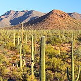
Sonoran Desert Place » Desert The Sonoran Desert is an arid region covering approximately 100,000 square miles (260,000 square kilometers) in southwestern Arizona and southeastern California, as well as most of Baja California and the western half of the state of Sonora, Mexico. 133 views 💖 1 👍 0North America |
|
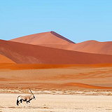
Namib Desert Place » Desert The Namib is a coastal desert in Southern Africa. According to the broadest definition, the Namib stretches for more than 2,000 kilometres (1,200 mi) along the Atlantic coasts of Angola, Namibia, and northwest South Africa, extending southward from the Carunjamba River in Angola, through Namibia and to the Olifants River in Western Cape, South Africa. 108 views 💖 1 👍 0Africa |

|
Universe Place » City The universe is all of space and time and their contents. It comprises all of existence, any fundamental interaction, physical process and physical constant, and therefore all forms of matter and energy, and the structures they form, from sub-atomic particles to entire galactic filaments. 228 views 💖 1 👍 0Universe |
|
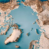
Arctic Desert Place » Desert The Arctic Desert, also known as the Arctic Tundra, is a cold, desolate region that encircles the North Pole, encompassing parts of Alaska, Canada, Greenland, Iceland, Norway, Sweden, Finland, and Russia. The Arctic Desert experiences extremely cold temperatures, often dropping below -40°C (-40°F) in winter. Summers are short and cool, with average temperatures ranging from 3°C to 12°C (37°F to 54°F). 241 views 💖 1 👍 0Arctic Desert |
|
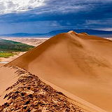
Gobi Desert Place » Desert Stretching across southern Mongolia and northern China, the Gobi Desert stands as one of the most captivating and enigmatic landscapes on the planet. Covering an area of over 1.3 million square kilometers, it is the largest desert in Asia and the fifth-largest desert in the world. 182 views 💖 1 👍 0Asia |
